Sách - 2023 Philip's Big Road Atlas Britain and Ireland : (Spiral A3) by Philip's Maps (UK edition, paperback)
Ships from and sold by EXPERAL Singapore Publisher: Octopus Publishing Group Origin: United Kingdom (Imported) ISBN 13: 9781849076074 Condition: Brandnew Binding: paperback Pages: 168 Dimensons: 392 x 290 x 10 | 980 (gram) ---------------------------------------- Phil

Experal
@experalĐánh giá
Theo Dõi
Nhận xét
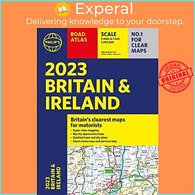
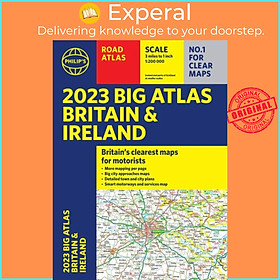
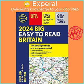
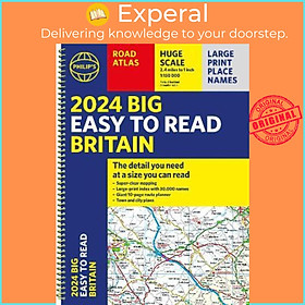
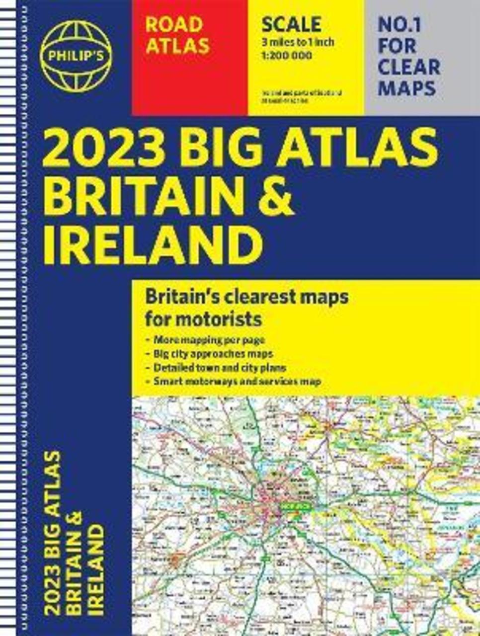
Ships from and sold by EXPERAL Singapore Publisher: Octopus Publishing Group Origin: United Kingdom (Imported) ISBN 13: 9781849076074 Condition: Brandnew Binding: paperback Pages: 168 Dimensons: 392 x 290 x 10 | 980 (gram) ---------------------------------------- Philip's is No. 1 in the UK for clear maps and brings you the latest large spiral-bound format Big Road Atlas Britain and Ireland 2023 with fully updated maps from the Philip's digital database. 'Good balance between detail and clarity with excellent town maps' What Car? * Main scale of maps: 3 miles to 1 inch = 1:200,000 - all fully updated * Practical 'more to view per page' A3 lie-flat format * Smart motorways and electric cars explained * Great for planning and driving long journeys or short hops * Philip's: Britain's clearest maps for motorists * Completely updated and revised for 2023 with information on Smart Motorways and electric cars * Map of scenic Britain and a map highlighting railways, airports and ferry ports - Plan your route in advance - 6-page route-planning section - 64 fully indexed town and city plans - 16 pages of city approach maps with named arterial roads - 2-page road map of Ireland Philip's 2023 Big Road Atlas Britain and Ireland contains 96 pages of road maps covering Britain at 3 miles to 1 inch (Scottish Highlands and Western Isles at 4 miles to 1 inch, Orkney and Shetland at 5.25 miles to 1 inch). The maps clearly mark service areas, roundabouts and multi-level junctions for easy navigation, and in rural areas distinguish between roads over and under 4 metres wide - a boon for drivers of wide vehicles. The atlas also includes a 2-page road map of Ireland, route-planning maps, a distance table, 12 large-scale city approach maps with named arterial roads, and 64 extra-detailed and fully indexed town and city plans. Giá sản phẩm trên Tiki đã bao gồm thuế theo luật hiện hành. Bên cạnh đó, tuỳ vào loại sản phẩm, hình thức và địa chỉ giao hàng mà có thể phát sinh thêm chi phí khác như phí vận chuyển, phụ phí hàng cồng kềnh, thuế nhập khẩu (đối với đơn hàng giao từ nước ngoài có giá trị trên 1 triệu đồng).....
Công ty phát hành
Penguin Books
Nhà xuất bản
Penguin
ISBN-13
9781849076074
Loại bìa
Paperback
Sản Phẩm Tương Tự